Denton County Flood Zone Maps: What Homeowners Need to Know
Updated: Aug 22
FEMA released preliminary updated flood zone maps for Denton County in June 2026, and the changes move some homes in Denton, Fort Worth, Haslet, Justin, New Fairview, Roanoke, and nearby communities near Ponder and Northlake into a mapped flood hazard area for the first time. If your property now falls inside a Special Flood Hazard Area, your mortgage lender will require flood insurance, and you have a 90-day window to review the map before it becomes final.
For homeowners who have never carried flood insurance, that notice can feel like an unwelcome surprise showing up in the mail. The map isn't final yet, so there's a real window right now to understand what changed, what it costs, and how to reduce actual flood risk on your property before the new designation locks in.
Why North Texas floods differently
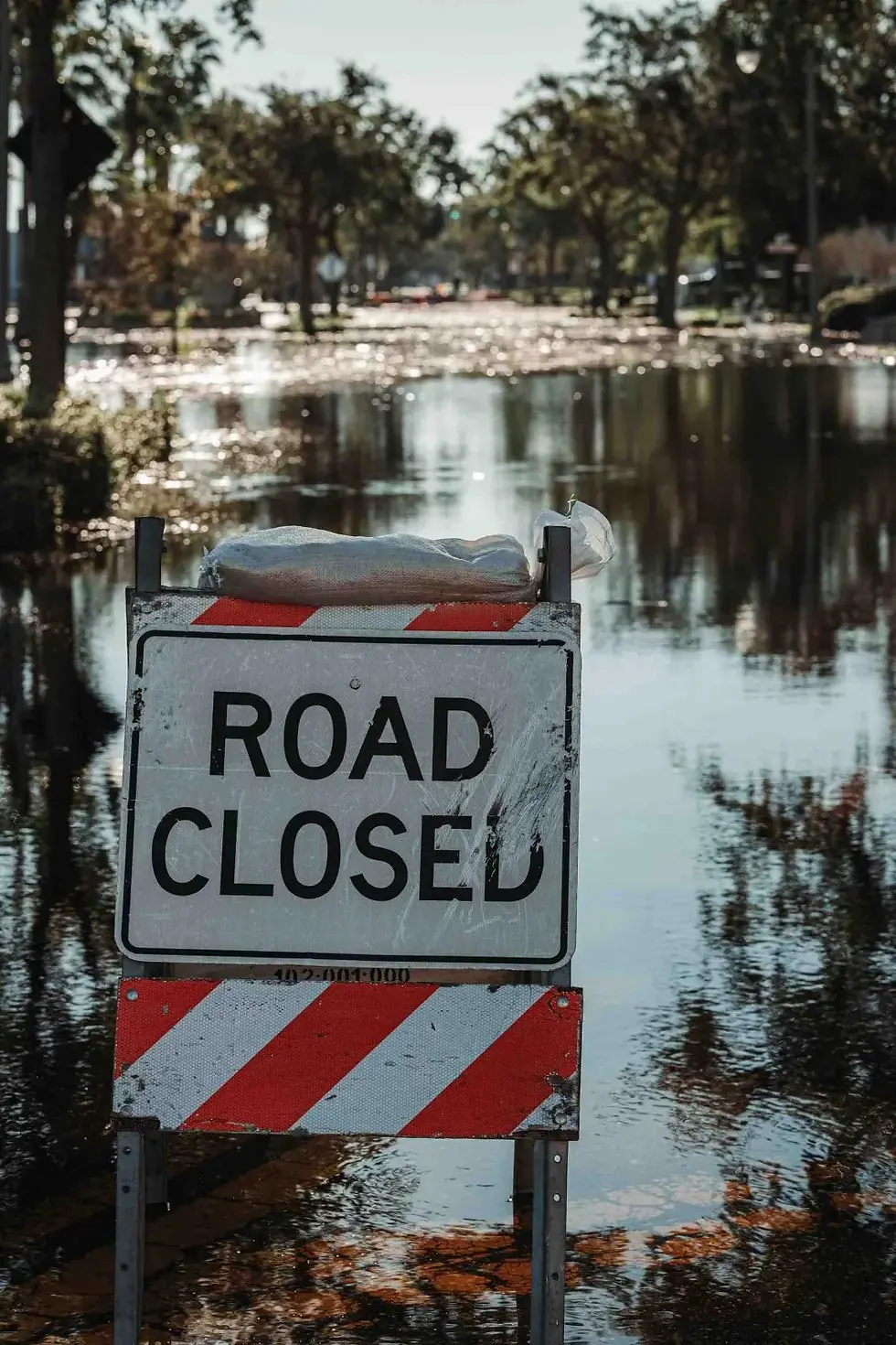
North Texas doesn't flood the way most of the country pictures it. Flat terrain and clay-heavy soil across Denton County mean rainfall runs off fast instead of soaking into the ground. When a slow-moving storm parks over the Metroplex, water can rise within an hour in places that have never flooded before. One Denton County homeowner learned this firsthand when water came in during a storm with almost no warning, in a home that had never taken on water in nine years of ownership.
Denton County's rapid growth adds to the risk. More rooftops and paved driveways push more water into the same creeks and drainage systems FEMA is now remapping. The county has been working with NCTCOG's regional hazard mitigation planning effort to study local waterways like Harriet Creek and Catherine Branch in the southwest part of the county, and that work fed directly into this year's map update.
What changed in the new Denton County flood maps
FEMA published new preliminary Flood Insurance Rate Maps covering portions of Denton, Fort Worth, Haslet, Justin, New Fairview, and Roanoke, along with the towns of Dish, Northlake, and Ponder, and unincorporated areas of Denton County. A preliminary map reflects updated flood hazard data and stays open for public review before it becomes the official, legally effective map. Property owners now have a defined period to formally challenge the data or flag errors before the map locks in for good.
Any owner or lessee of real property in the mapped area has the right to appeal, not just the county government. FEMA starts the process by publishing the proposed determination in the Federal Register and notifying the county's chief executive by certified mail. The 90-day appeal window begins after the second published notice in a local newspaper.
How to check your property's new status
You don't have to guess whether your home moved into a mapped flood zone. FEMA's flood map service lets you search by address and compare the current effective map against the newly proposed one. If your property falls inside a zone beginning with the letter A, that's FEMA's Special Flood Hazard Area designation, meaning the area carries at least a one percent annual chance of flooding in any given year. If the online map is unclear for your specific parcel, you can also contact the Denton County floodplain management office directly.
What does this mean for your insurance?
Being newly mapped into a Special Flood Hazard Area comes with a legal requirement. Under federal law, lenders must run a flood zone determination on federally backed mortgages, and if a home falls inside a mapped high-risk zone, the mandatory flood insurance requirement in Texas kicks in as a condition of that loan. This applies when you buy, refinance, or in some cases renew a federally backed mortgage. Homeowners can satisfy the requirement through an NFIP policy or a private flood insurance policy, as long as the private policy meets the same coverage standard. Your lender enforces this mandatory purchase requirement, not FEMA directly, which is why the notice shows up on lender letterhead instead of a government letter.
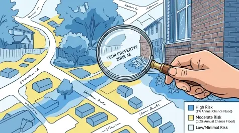
When Mark in Justin refinanced his mortgage this spring, his lender ran a new flood zone determination against the updated maps and found his home now sat inside a mapped Special Flood Hazard Area. He'd lived in the same house for nine years without ever carrying flood insurance, and his lender sent formal written notice that flood coverage was now a condition of closing. We walked him through the difference between an NFIP policy and a private flood policy, and he chose a private policy that priced lower once he provided a current elevation certificate. His closing was delayed two weeks, but he avoided a last-minute scramble because he started the process the day the notice arrived.
It matters to understand this now because a standard homeowners insurance policy doesn't cover flood damage, period. Texas Department of Insurance guidance is clear on that point, which is exactly why a change in flood zone status is worth taking seriously before any storm actually happens. An adjuster reviewing a future claim will also look at a home's documentation differently once its flood zone history changes. That's one more reason it helps to understand how adjusters read restoration and moisture documentation long before a storm ever reaches your street.
How to mitigate your flood risk now
A new flood zone designation doesn't mean a home is destined to flood, but it's a signal worth acting on. Grading your yard so water flows away from the foundation, rather than toward it, remains one of the simplest and most effective changes a homeowner can make.
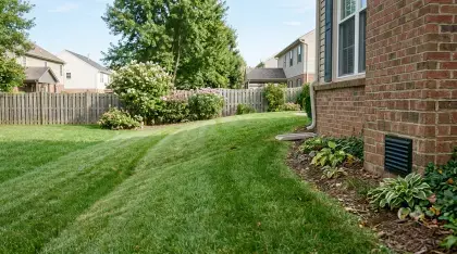
Elevating HVAC equipment, electrical panels, and water heaters above expected flood levels protects the systems that are most expensive to replace after a loss. A battery-backed sump pump is worth the investment for any property on a slab or with a crawl space in a newly mapped zone. These habits work alongside the everyday steps that protect a North Texas home from water damage even outside a flood zone, from gutter maintenance to proper grading around the foundation.
If you want a clearer picture of flood insurance pricing, have a licensed surveyor prepare an Elevation Certificate. FEMA's system compares a home's actual elevation against the mapped flood level using that document, which can lead to a more accurate, and sometimes lower, premium. We've walked North Texas homeowners through this process after a mapping change before, and in most cases the certificate paid for itself within the first year or two of lower premiums.

What to do in the next 90 days
FEMA's appeal and comment period gives property owners a real opportunity to weigh in before this map becomes final. Appeals must be backed by scientific or technical survey data showing the mapped elevation or boundary is incorrect. Comments cover simpler issues, like a misspelled street name or an incorrectly labeled parcel. Both route through your local floodplain administrator instead of going directly to FEMA.

Whether you live in Denton County or anywhere else covered by this North Texas flash flood homeowner guide, check your address against the new map now. Waiting until the map becomes final means finding out about a mandatory insurance requirement at the same time as your lender, with far less time to prepare.
Key Takeaways
FEMA released preliminary updated flood zone maps for Denton County in June 2026, moving some homes into mapped flood hazard areas for the first time.
The map isn't final. Property owners get a 90-day appeal window after the second published notice, plus a separate comment period for simpler errors.
If your home falls in a Special Flood Hazard Area with a federally backed mortgage, federal law requires your lender to make flood insurance a condition of the loan.
Simple steps, like yard grading, elevating utilities, and installing a battery-backed sump pump, reduce flood risk regardless of your final zone designation.
An Elevation Certificate compares your home's actual elevation to the mapped flood level and can lower your flood insurance premium.
Frequently Asked Questions
Is the new Denton County flood map final?
Not yet. FEMA published it as a preliminary map, and it stays open for public review, comment, and appeal before it becomes the official, legally effective map.
Do I have to buy flood insurance if my home is now in a flood zone?
If your home falls inside a mapped Special Flood Hazard Area and you have a federally backed mortgage, federal law requires your lender to make flood insurance a condition of the loan.
How can I check if my property is affected?
Use FEMA's flood map service to search by address and compare the current effective map against the newly proposed one, or contact the Denton County floodplain management office directly.
Sources and References:
FEMA — Preliminary Flood Maps for Denton County, Texas, Ready for Public View
FEMA — Guidance for Flood Risk Analysis and Mapping Appeal and Comment Processing
FEMA — The National Flood Insurance Program's Mandatory Purchase Requirement
Texas Department of Insurance (TDI) — Homeowner Insurance Rights and Claims Process
NCTCOG — Regional Hazard Mitigation Planning
Download your free homeowner preparedness guide for your county:


Comments